
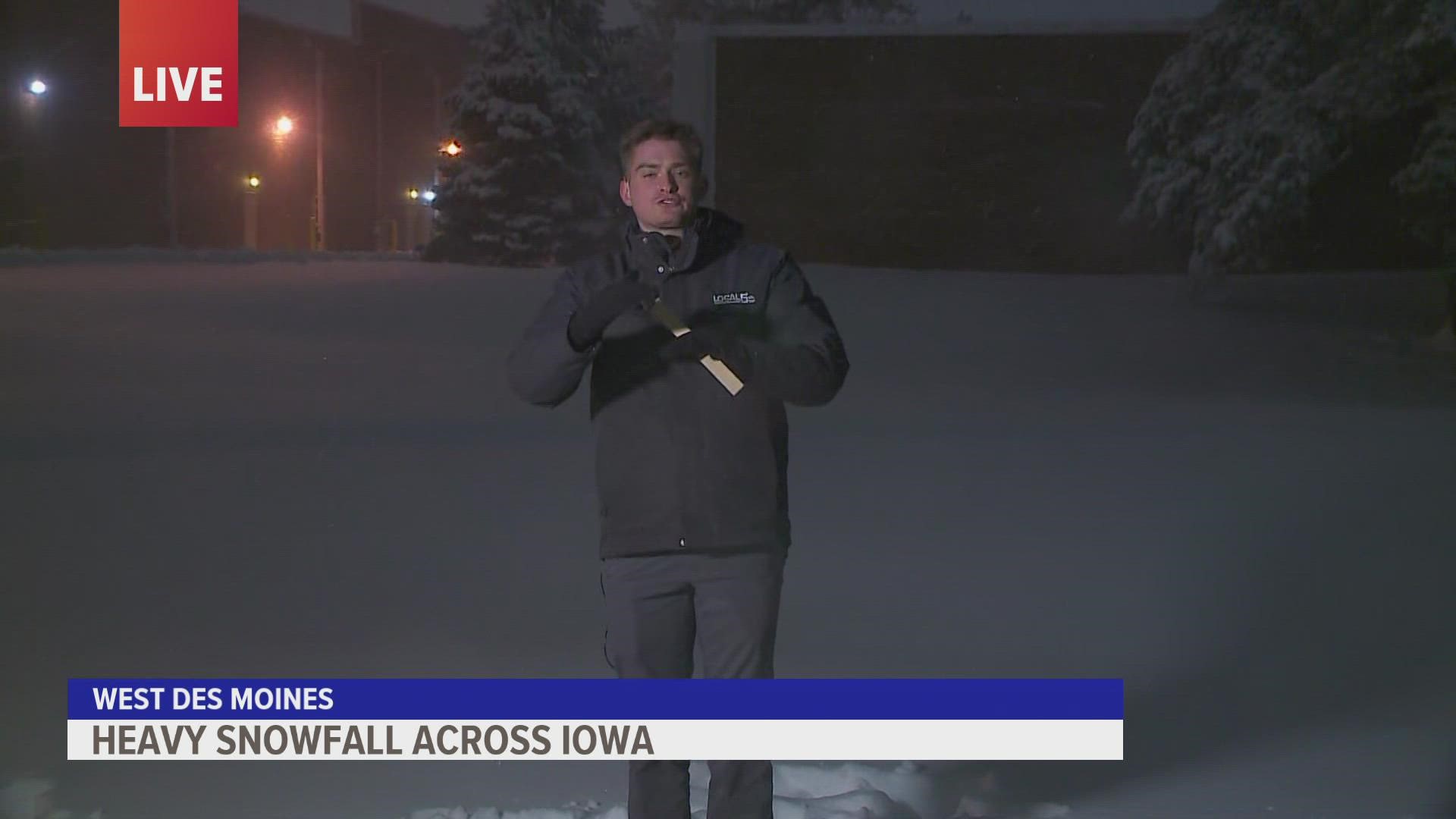
IOWA, USA — What a Saturday! After some "bonus snow" Friday morning, the main event arrived later in the afternoon, with heavy snow falling across much of the metro by 3 p.m. The axis of heaviest snow fell from Algona down through Ames and Des Moines, and through Knoxville, where reports of 10+ inches came in.
The snow didn't let up for nearly 12 hours, and accumulations piled up quickly. The storm overachieved even the high 7-10 inches we had forecasted for the metro, with the airport measuring more than a foot! Travel remains dicey and dangerous across much of the metro Saturday afternoon.
The snow will be slow to melt, with temperatures slowly rising above freezing by Tuesday, but it won't be enough to take care of the massive amounts that fell.
Heavy snow has piled up in most of central Iowa. Unlike our last snowfall on New Year's Day, this snow is wetter and heavier, and therefore more difficult to shovel.
Find the latest traffic alerts, snow totals and winter weather alerts below
Important winter weather information
4 p.m.
2 p.m.
The Winter Storm Warning is no longer in effect, although travel is still not advised in most of Dallas and Polk counties. Conditions have improved in story county, with roads only partially covered.
Saturday 8 a.m.
Iowa State Patrol responded to 119 total crashes between 5 a.m. Friday and 8 a.m. Saturday:
- Property damage - 105
- Personal injury - 14
- Fatal - 0
- Motorist assists - 328
Des Moines Police Department responded to the following calls between 9 p.m. Friday and 6 a.m. Saturday:
- Property damage only crash - 6
- Personal injury crash - 0
- Hit-and-run Crash - 1
- Stalled vehicle - 24
Polk County Sheriff's Office responded to the following calls between 4 p.m. Friday and 7 a.m. Saturday:
- Combination of Accidents/vehicles in ditches/vehicles stuck in the snow – 67 (three of these reported minor injuries)
- Snow ordinance violation complaints – 11
- Reports of a person walking during the storm – 4
I-80 eastbound was closed at the Des Moines east mix master, but has since reopened.
Friday 9:30 p.m.
Iowa State Patrol responded to 78 total crashes between 5 p.m. and 9 p.m.:
- Property damage - 64
- Personal injury - 14
- Fatal - 0
- Motorist assists - 207
9 p.m.
Des Moines Police Department responded to the following calls between 5 p.m. and 9 p.m.:
- Property damage only crash - 14
- Personal injury crash - 2 (both minor injuries only)
- Hit-and-run crash - 6
- Stalled vehicle - 20
8:30 pm.
Highest snow totals
- Laurens: 11.0"
- Algona: 10.0"
- Bode: 9.0"
- Badger: 8.1"
- Oskaloosa: 7.4"
- Iowa Falls: 6.0"
- Laurel: 6.0"
- Roland: 6.0"
- Ames: 5.5"
- State Center: 5.5"
- Madrid: 5.5"
- Ankeny: 5.0"
- Boone: 5.0"
- Nevada: 5.0"
- West Des Moines: 5.0"
5:30 p.m.
Des Moines police responded to 34 calls between noon and 5 p.m. Here's the breakdown of those calls:
- Property Damage Only Crash - 24
- Personal Injury Crash - 2 (both minor injuries only)
- Hit & Run Crash - 5
- Stalled Vehicle - 3
5:00 p.m.
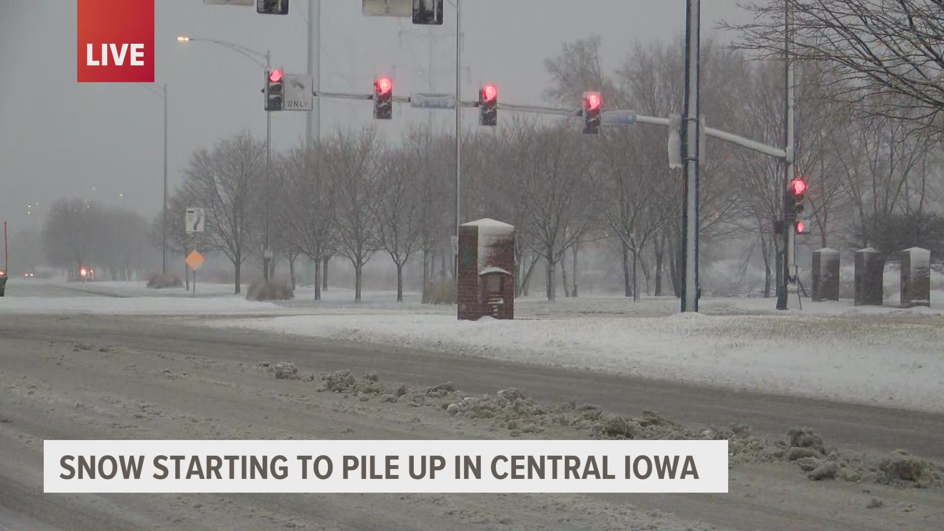
Snow is piling up as the evening commute begins!
4:32 p.m.
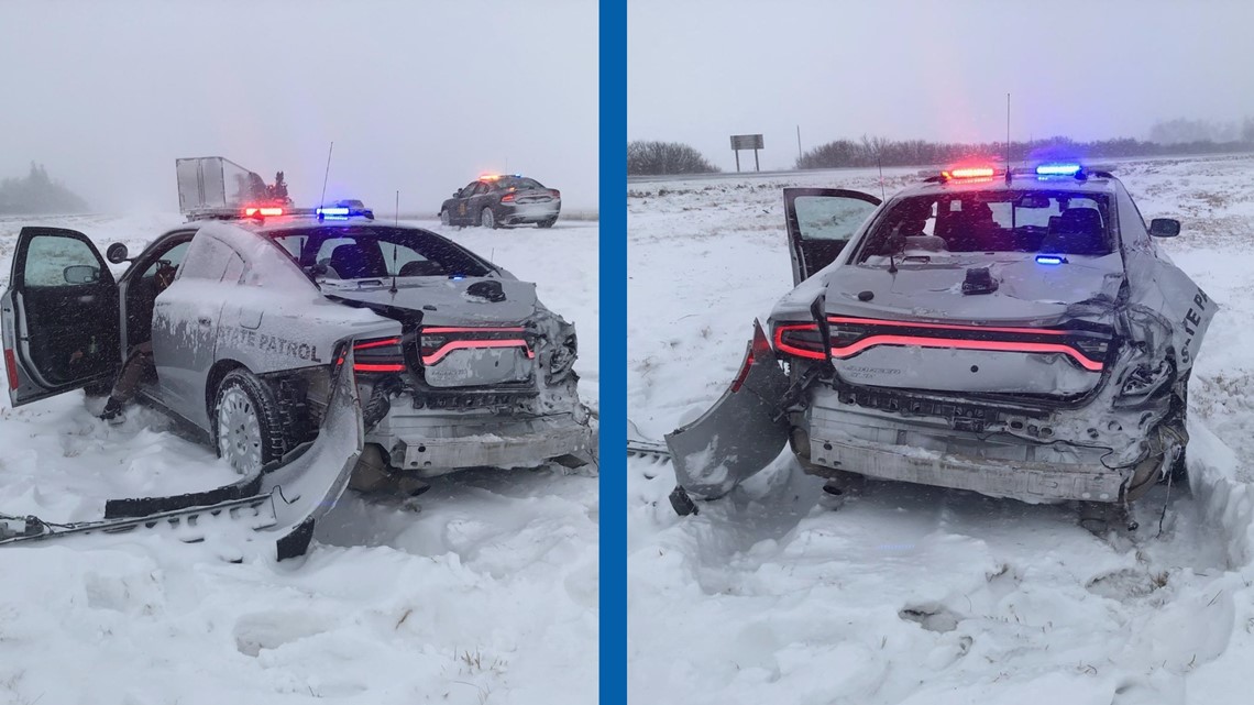
The Iowa State Patrol is urging folks to use caution after one of its lieutenants was struck by a semi when he was in his vehicle near Mason City. The lieutenant was assisting with another crash at the time.
Sgt. Alex Dinkla told Local 5 he appears to only have minor injuries and is getting checked out at a local hospital.

3:45 p.m.
Heavy snow ongoing and will continue through the evening.
We'll see 6-10"+ up and down I-35 in central Iowa by sunrise Saturday.
12:51 p.m.
Road conditions deteriorating
I-35 northbound is blocked due to a crash in northern Iowa west of Mason City. These types of conditions are expected to begin across the Des Moines metro Friday evening.
12:45 p.m.
Snow totals heading into the afternoon
- Bode: 5.0"
- Algona: 4.5"
- Laurens: 4.5"
- Melbourne: 4.0"
- Ames: 3.0"
- Iowa Falls: 2.5"
- Pocahontas: 2.5"
- Oskaloosa: 2.0"
- Gilbert: 1.5"
- Madrid: 1.3"
- Johnston: 0.7"
- Des Moines: 0.3"
11 a.m.
Iowa DOT road conditions
Some roads east of the netro near I-80 are now considered "completely covered", according to the Iowa Department of Transportation.
10:15 a.m. forecast update
Iowa DOT road conditions (8:45 a.m.)
Much of central and north-central Iowa is labeled "partially covered", while western, southern and eastern Iowa is still at "seasonal" with more snow incoming.
Latest look at forecast snow totals
The Local 5 Weather team forecast 7-10" for Des Moines, 6-9" for Marshalltown, Newton and Oskaloosa and 5-8" for Creston and Lamoni.
Crash to impact commute to downtown Des Moines
The Des Moines Police Department reports a "property damage crash" at 2nd and Hull Ave.
"Temporary delay to downtown with roadway blocked," DMPD tweeted. "Tow trucks en route."
Learn about the science of weather on Local 5's YouTube channel