
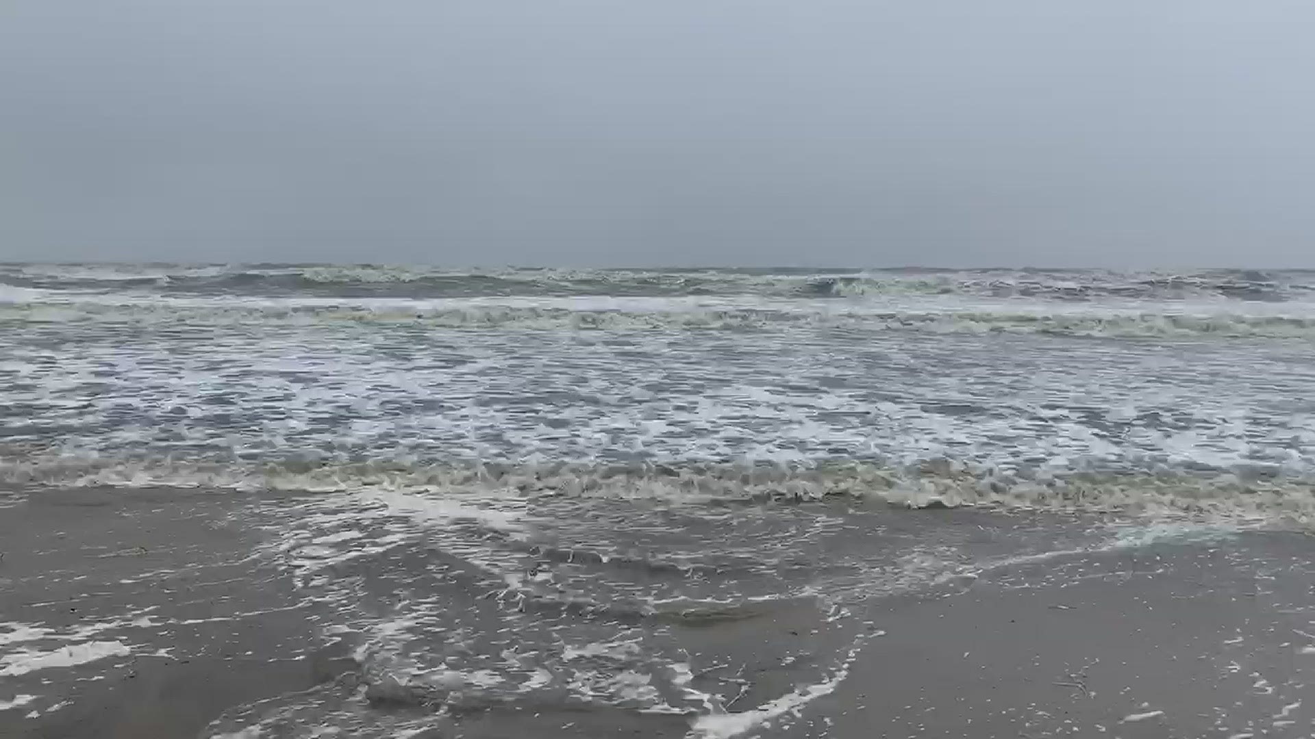
WEST DES MOINES, Iowa — Tropical Storm Cristobal officially made landfall Sunday evening around 5:00 p.m. CDT between the mouth of the Mississippi River and Grand Isle, Louisiana.
This storm has brought torrential rain, strong storm surge, powerful winds, and even spin-up tornadoes to states like Louisiana, Mississippi, Alabama, and Florida.
As the storm slowly begins to weaken and move north, it will impact a large section of the country. And you guesses it- Iowa could be in the path, too.
Of course, this system will lose some of its "tropical" nature as it tracks north, but it will bring a lot of moisture and some strong winds with it.
This means that a heavy rain threat will unfold for parts of Iowa on Tuesday, especially in the afternoon and evening.
Having the remnants of a tropical system impacting Iowa is not entirely uncommon. In fact, it's happened many times before in history.
What makes this scenario unique is that the innermost part of the system, known as the center of the low pressure, will move very close to the Iowa and Illinois border.
Although there's no guarantee it will move directly through Iowa, it will definitely be a close call.
The last time (and the only time) that the center of a tropical system pushed directly into Iowa was in September 1900!
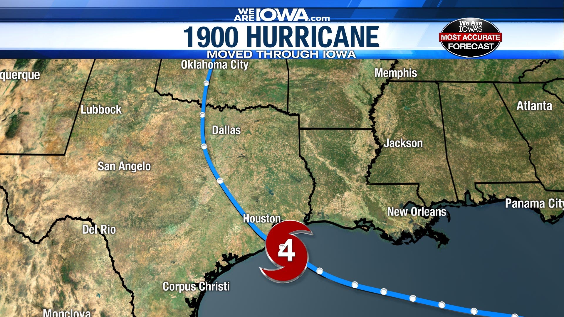
In 1900, a Category 4 Hurricane made landfall near Galveston, Texas. It is still known as the deadliest hurricane to ever hit the United States, with the lack of technology and forecasting ability partially to blame.
The hurricane weakened after landfall, but it did not get downgraded to a tropical depression until it reached the middle of Kansas!
The depression continued to push through northwest Missouri and eventually pushed across central and southern Iowa, before it officially became an extratropical system near What Cheer, Iowa on September 11, 1900.
Clearly, having the actual center of a tropical system in our state is a rare occasion!
So will the center of the post-tropical cyclone move through Iowa this time around? It's possible! As of right now, the National Hurricane Center's forecast cone of uncertainty includes the border of eastern Iowa and western Illinois. We will watch it closely.
Regardless, heavy rainfall and strong wind gusts are quite likely for Tuesday and Wednesday. An approaching cold front will increase our rain chances a bit, too.
Stay with Local 5 as we continue to monitor the remnants of Cristobal as they move towards Iowa.