
WEST DES MOINES, Iowa — An Air Quality Alert is in effect for our northern counties until 11 PM tonight.
Today: Clouds and showers begin the day to the southeast, while clouds are already breaking up to the northwest. As the day wears on, this cloud deck will peel away from northwest to southeast, however, smoke from Canadian wildfires will filter the sunshine. Spotty showers linger into the evening hours off to the southeast as clouds finally begin to break up. High top in the mid-60s to the southeast, while added sunshine puts our northwestern counties in the mid-70s. Plan on a northeast wind at 10-15 mph.
Tonight: Mostly clear skies remain as temps dip into the upper 40s to low 50s. The wind will be light from the northeast around 5-10 mph.
Wednesday: A mostly dry day! Clouds gradually increase from the west as rain approaches by the evening. Highs peak in the low-to-mid 70s with a southeast breeze at 5-10 mph.
Wednesday Night: There may be some scattered overnight showers and an isolated rumble, but nothing severe is expected. Lows drop to either side of 60° with a quiet southeast wind.
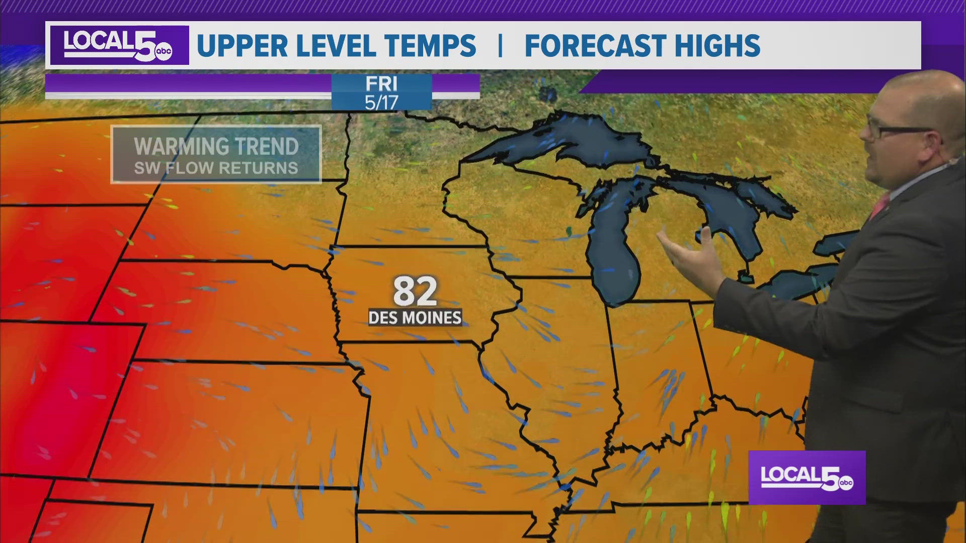
Rest of the Week: Shower and storm chances continue on the Thursday, but Friday looks mainly dry. There may be an isolated shower late Friday afternoon to the southeast, but nothing widespread. Highs top in the 70s Thursday with 80s on tap Friday through Sunday. Saturday may see an evening pop-up shower or storm, but Sunday afternoon has a better chance at an afternoon shower and/or storm. Overall, there will be dry time both days with the humidity level staying in check!
Stay Weather Aware!