
WEST DES MOINES, Iowa — Storms are exiting after a devastating night of tornadoes across Iowa and Nebraska. Numerous tornadoes have been reported, some long tracked across the state causing significant damage. Official ratings of tornado strength are still being determined.
Saturday has a stationary front held up over SE Iowa. This front will be the focus for another round of storms after 3 PM on Saturday. With that SE focus, the severe threat will also follow. A cluster of storms will be bringing a wind/hail threat to the vicinity that evening, with the possibilities of tornadoes until 9PM. There is also a possibility of flash flood due to the amount of rainfall.
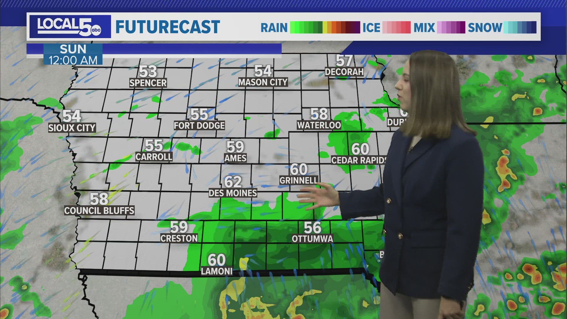
Each day has a domino effect on the other, so looking three days out in this scenario can get a bit murky. A secondary wave of showers and storms should reemerge for Sunday. The details are a bit convoluted, but should we get a break in there to warm a bit, we could see some additional strong storms.
All told in the three-day stretch, we'll see heavy rain across the state. Totals could be as high as 3-4" for some... a drought busting type rain for sure. In fact, this weekend, we'll watch that stationary front for possible flash flooding risks too. The least in the state should be over northern Iowa where as little as 1" is expected.
Some warm temps are in there. Another mild day is Tuesday next week before temps take a little tumble to round out the week.