
DES MOINES, Iowa — Severe weather is headed to Iowa between Monday evening and Tuesday morning.
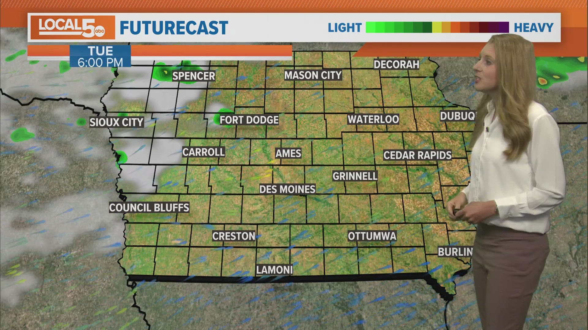
The Local 5 Weather Team forecasts severe weather will start in western Iowa around 9 or 10 p.m., with the systems exiting to the east around 2 a.m.
Wind is likely the biggest threat for most of the state, though tornadoes could form, especially in southwest Iowa.
You can view the full forecast here. A full list of storm reports from the National Weather Service is available at this link.
Watches and Warnings
A Tornado Warning was issued for the following areas:
- Lake City (11:15 p.m.)
- Rockwell City (11:15 p.m.)
- Glidden (11:15 p.m.)
- Denison (10:30 p.m.)
- Manilla (10:30 p.m.)
- Arcadia (10:30 p.m.)
A Tornado Watch is in effect for most of Iowa — including Polk County — until 3 a.m. on Tuesday, May 7.
A Severe Thunderstorm Warning was in effect in the following areas:
- Carroll (11:15 p.m.)
- Jefferson (11:15 p.m.)
- Pocahontas (11:15 p.m.)
- Sac City (11:15 p.m.)
- Creston (11 p.m.)
- Audubon (11 p.m.)
- Greenfield (11 p.m.)