
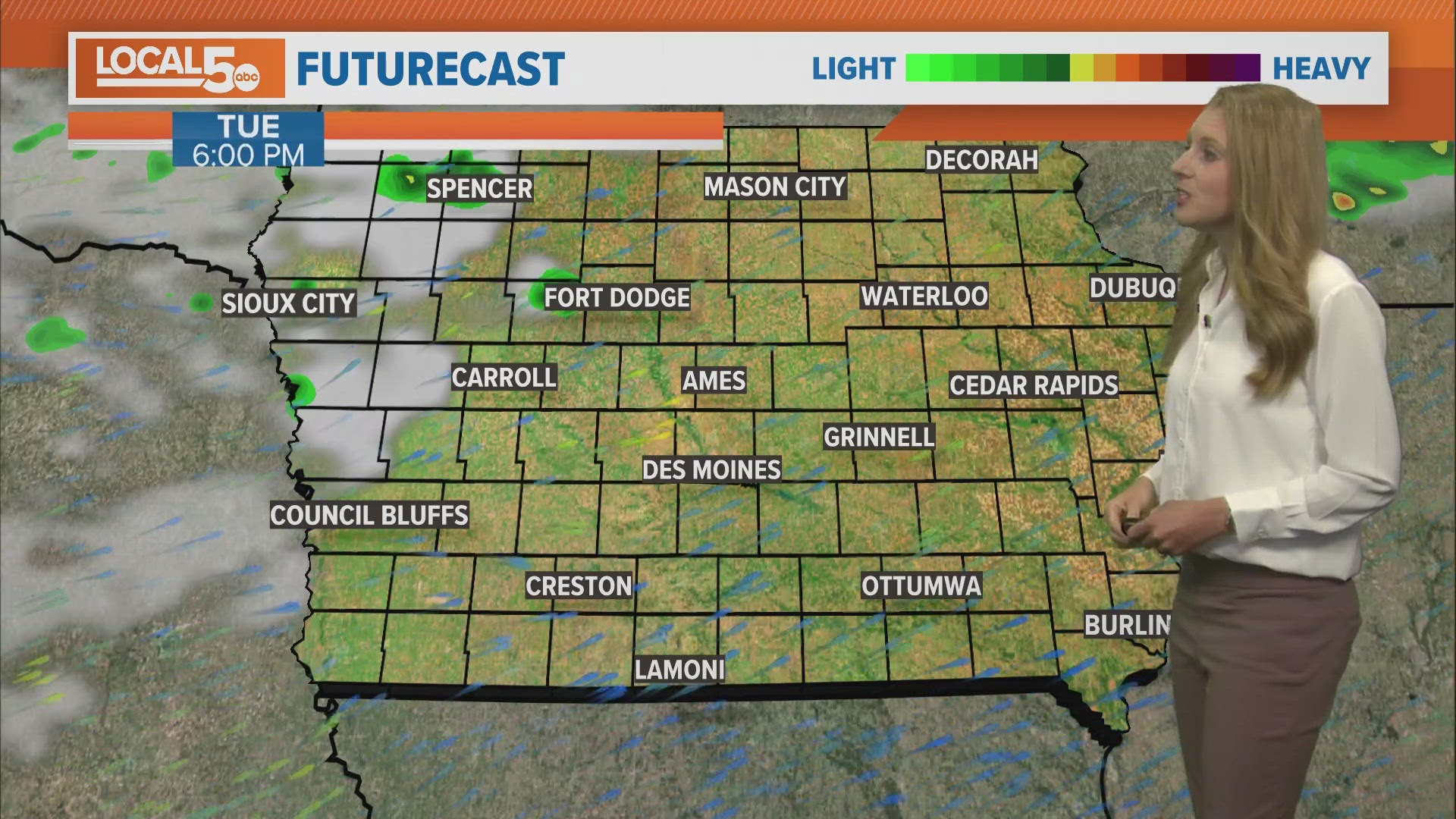
IOWA, USA — Severe storms rumbled through central Iowa late Monday into Tuesday morning with a widespread swath of rain cutting across the state.
At least two confirmed tornadoes occurred in the Local 5 viewing area. An EF1 near Osceola and a brief EF0 in the city limits of Prairie City. Both of which caused tree and property damage along their respective paths. Damaging wind along the line was more prominent but still isolated.
Rain reports were mainly in the 1/2" to 1 1/4" range with a few running outside of it. Ames took the top spot with measured amounts with just shy of 2". Some estimates from radar were a bit higher in portions of western Iowa as well.
Overall, area waterways handled it fairly well. Rivers are now moving in central Iowa and we do have a few flood warnings along the Des Moines River as there is some minor flooding in spots! No major flooding is anticipated. We could use a break from the rain though to let some of this swelling subside.
Overnight rainfall totals:
- Ames — 1.89"
- Creston — 1.34"
- Audubon — 1.33"
- Storm Lake — 1.22"
- Algona — 1.13"
- Boone — 1.11"
- Atlantic — 1.10"
- Perry — 1.09"
- Fairfield — 1.02"
- Norwalk — 0.99"
- Lamoni — 0.93"
- Ankeny — 0.91"
- Carroll — 0.90"
- Des Moines International Airport — 0.88"
- Clarion — 0.64"
- Knoxville — 0.59"
- Grinnell — 0.57"
- Osceola — 0.56"
- Chariton — 0.52"
- Hampton — 0.50"
- Iowa Falls — 0.47"
- Newton — 0.43"
- Marshalltown — 0.41"
- Pella — 0.40"
- Fort Dodge — 0.39"
- Ottumwa — 0.38"
DRONE FOOTAGE: Tornado damage in Pleasant Hill, Iowa (April 26, 2024)